


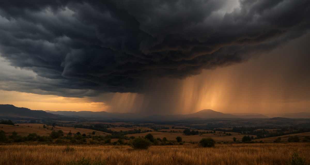
As South Africa ushers in spring, KwaZulu-Natal is set for an unsettled start to the season. Forecasts from the South African Weather Service (SAWS), AfriWX, and NOAA’s Global Ensemble Forecast System (GEFS) indicate a mix of thunderstorms, heavy rainfall, and shifting conditions across the province between 1 and 3 September 2025.
Monday, 1 September 2025: Cloudy Skies Begin the Week
The week starts with partly cloudy conditions across KwaZulu-Natal, with a 30% chance of isolated showers along the east coast. The Eastern Cape coast is also expected to be cloudy and cool, while the KZN interior remains fine, warm, and hot in places.
- Durban and eThekwini: 30% chance of showers.
- Northern KZN towns (Newcastle, Dundee, Vryheid): partly cloudy with a slight chance of showers.
- Winds: moderate southerly to south-easterly breezes, enhancing coastal rainfall.
Tuesday, 2 September 2025: Heat Inland, Showers Along the Coast
By Tuesday, warm to hot inland conditions will dominate, while rain chances increase along the coastline.
- Durban/eThekwini: 60% chance of coastal showers, with NOAA showing a 70% rainfall probability.
- Pietermaritzburg: hot (28–32°C) with a 30–60% chance of isolated afternoon thunderstorms.
- Northern KZN: 60% chance of showers, with isolated thunderstorms possible.
Wednesday, 3 September 2025: Peak Rainfall and Thunderstorms
Wednesday is expected to bring the heaviest rainfall and strongest thunderstorms of the three-day period.
- Durban/eThekwini: up to an 80% chance of thunderstorms and 10–20mm of rainfall. NOAA projections indicate a 40–70% chance of significant rain exceeding 5mm.
- South Coast (Port Shepstone and surrounds): 60–80% chance of thunderstorms, with 15–20mm of rainfall possible and cooler temperatures (22–25°C).
- Northern KZN (Newcastle, Dundee, Vryheid): 80% chance of rain and thunderstorms, with potential for lightning, hail, and heavy downpours of 10–20mm.
- Pietermaritzburg: thunderstorms possible with brief heavy rain and gusty winds.
Risks and Impacts
- Road Safety: Slippery surfaces and reduced visibility could disrupt travel.
- Flooding: Localised flooding is possible in low-lying areas such as Umlazi and Lamontville.
- Agriculture & Ports: Moderate to fresh southerly winds may affect coastal communities, port operations, and farming activities.
SAWS highlights that seasonal forecasts suggest above-normal minimum and maximum temperatures across most of South Africa, pointing to an active and potentially volatile start to spring.
KwaZulu-Natal’s spring weather is shaping up to be dynamic and challenging, with residents advised to stay alert for thunderstorms, heavy rain, and shifting conditions over the next few days. Monitoring updates from SAWS and AfriWX will be essential to plan travel, outdoor activities, and agricultural operations safely.
Let us know your thoughts in the comment section below and stay safe.
The east and south coasts—including Durban, Umlazi, Lamontville, and Port Shepstone—are forecast to experience the heaviest rainfall, with probabilities reaching 80% by Wednesday, 3 September 2025. Inland towns such as Pietermaritzburg, Newcastle, Dundee, and Vryheid may also see thunderstorms.
Durban could see 10–20mm of rainfall by Wednesday, 3 September 2025, with thunderstorms increasing the risk of slippery roads and localised flooding in low-lying areas.
Yes. Pietermaritzburg is forecast to have isolated thunderstorms on Tuesday, 2 September 2025, with a 30–60% chance of rainfall, possibly accompanied by brief heavy showers and gusty winds.
Areas like Newcastle, Dundee, and Vryheid are expected to have heat mixed with intermittent thunderstorms, with a 60–80% chance of rainfall by Wednesday. Some storms may include lightning, hail, and brief downpours.
The South African Weather Service (SAWS) forecasts above-normal minimum and maximum temperatures, signalling a warm and active start to the spring season.
Moderate to fresh southerly to south-easterly winds are expected along the coast, which could enhance rainfall and affect port operations. Inland gusts may accompany thunderstorms.
The most widespread rainfall and thunderstorms are expected on Wednesday, 3 September 2025, with probabilities reaching 70–80% along the coast and into parts of the interior.
While widespread flooding is not guaranteed, localised flooding in low-lying areas such as Umlazi and Lamontville is possible, especially if rainfall exceeds 20mm in a short period.
Residents are advised to monitor weather updates, avoid low-lying flood-prone areas, drive carefully on slippery roads, and prepare for sudden changes in conditions. Businesses and farmers should plan around possible disruptions.
Be sure to read, Durban Playhouse Events 2025: What’s On at Durban’s Premier Theatre, if you missed it.













One Response
Gauteng Boksburg what’s the dan weather. I hope to go to a Spring Dance my darlings old and new.Please do tell now.U Tube please help tell.