


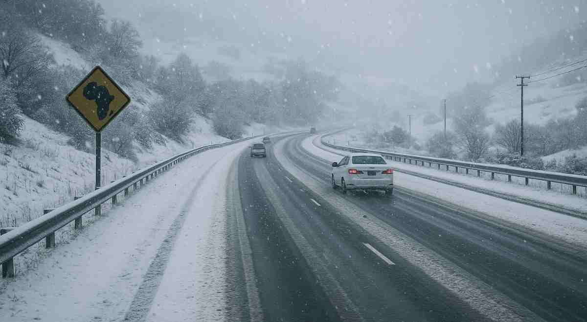
With the school holidays fast approaching, a significant meteorological event is poised to envelop parts of Southern Africa in a rare winter embrace. This comes as the South African Weather Service (SAWS) and Snow Report Southern Africa have issued forecasts predicting widespread, potentially disruptive snowfall across South Africa, Lesotho, and Namibia from 25 to 28 June 2025.

Driven by a potent cold front and amplified by a cut-off low-pressure system, this phenomenon promises an extraordinary spectacle, with low-level snow expected to reach regions rarely touched by winter’s chill.
Satellite imagery from SAWS, dated 18 June 2025, depicts a cold front southeast of the Republic of South Africa (RSA), trailed by cold cumulus clouds. This system is already delivering icy conditions, with frost covering the escarpments of the Eastern Cape and Lesotho, and partly cloudy skies prevailing over the southwestern interior. As the front advances, meteorologists anticipate a sharp temperature drop, setting the stage for the predicted snow event.
Detailed Weather Forecast for June 25-28, 2025
Snow Report Southern Africa’s latest advisory highlights a powerful cold front expected to make landfall along the West Coast on 25 June, intensifying as it moves eastward. Lesotho is anticipated to face severe impacts, with widespread heavy snowfall forecast, potentially exceeding 60 cm in elevated areas such as Afriski, Sani Pass, and Tiffindell. Low-level snow is also projected, accessible by standard vehicles in parts of the Eastern Cape, Free State, and KwaZulu-Natal.
Furthermore, the Western Cape’s mountains, including the Cederberg and Matroosberg, are likely to see light snow from 25 June, extending to the Eastern Cape, Northern Cape, and Drakensberg regions by 26-27 June. Lighter accumulations are possible in the Free State and Mpumalanga, while southern and central Gauteng face a low-probability chance of flurries. In Namibia, the southern highlands, including areas around Spitzkop and Aus, may experience isolated light snow, a rare event for the region.
The associated cut-off low is expected to worsen conditions, potentially triggering severe thunderstorms, heavy rainfall, and the hazard of black ice, particularly in eastern South Africa.
Moreover, SAWS has issued preliminary advisories, with warnings for disruptive snowfall likely to escalate as the event nears.
Coinciding with the start of the school holidays, this forecast raises critical concerns about travel safety. Snow Report strongly advises motorists to avoid high-altitude mountain passes during snowfall unless travel is essential, citing hazardous road conditions and potential closures. Communities in Lesotho and the Eastern Cape, still recovering from recent flooding, are urged to prepare for additional challenges, including possible power outages and disruptions to supply chains.
Daily monitoring of SAWS and Snow Report updates is essential, and contributions of real-time observations via WhatsApp (081 251 8029) will enhance forecast accuracy.

By adopting a proactive and cautious approach, Southern Africa can mitigate the hazards of this rare winter event, protecting lives and infrastructure while navigating the challenges of an extraordinary meteorological phenomenon.
What are your thoughts on the above? Share your views in the comment section below.












2 Responses
Will we receive snow in Springs Gauteng?
will the people be informed and will they take responsibility for themselves?