

Key points in this article:
- Precision in Prediction: SAWS leverages an innovative Impact-Based Warning System (IBWS) to not just forecast weather, but to meticulously analyse its potential repercussions on infrastructure, safety, and the environment, empowering communities with foresight for proactive measures.
- A Clear Path Through Complexity: Delve into a detailed explanation of SAWS’s warning levels, where colours (Yellow, Orange, Red) and numbers (1-10) demystify the urgency and severity, transforming abstract weather data into actionable insights.
- A Collaborative Forecast: Discover how SAWS’s impact-based forecasting is bolstered by partnerships, utilising a rich tapestry of data from demographics to GIS, ensuring warnings are not only accurate but also resonant with real-world implications.
- Empowering Through Education: This guide offers more than information; it’s an educational tool that clarifies each warning level’s significance, providing you with the knowledge to navigate through weather challenges with confidence, ultimately safeguarding lives and livelihoods.

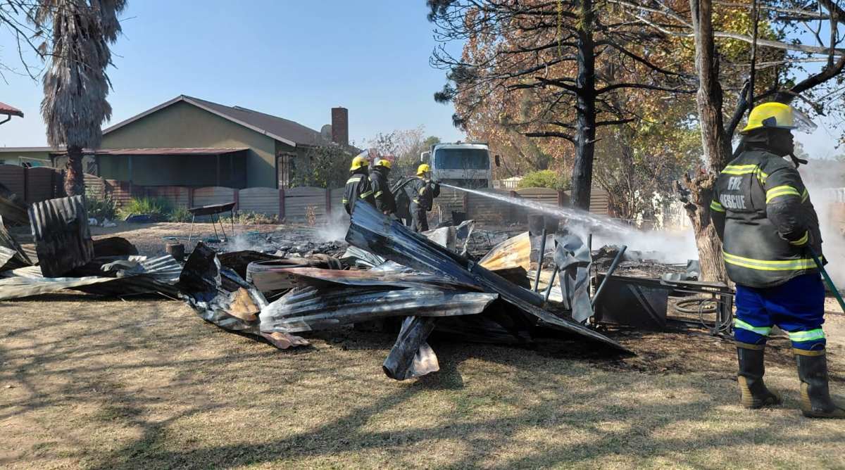
From severe thunderstorms, damaging winds, to snowstorms, the South African Weather Service (SAWS) plays an instrumental role in alerting South Africans about various weather conditions.
However, the question persists: what do these different warnings actually mean?
Differentiating between a “Yellow Level 2 Warning for severe thunderstorms” and an “Orange Level 2 warning for severe thunderstorms” can be perplexing for the average community member who wishes to take the necessary precautions but requires more specific guidance.
Taking this into consideration, Newcastillian News reached out to SAWS to clarify exactly how their weather warnings function and what they signify.
The Science of Weather Forecasting: SAWS’ Impact-Based Warning System
When navigating through the complex landscape of weather forecasting, SAWS serves as a guiding beacon, employing an advanced Impact-Based Warning System (IBWS) to steer residents through the diverse weather conditions that sweep across the country. This system transcends mere weather prediction; it anticipates the impact on your life, property, and community. Here’s the mechanism and purpose behind it:
- How it Works: The IBWS evaluates both the probability and potential impact of weather events. Rather than just forecasting weather, it assesses the severity of potential outcomes across various sectors such as public safety, infrastructure, and the environment. It leverages meteorological data, historical impact assessments, and socio-economic variables to set warning levels.
- What it Does: By concentrating on impact, the IBWS crafts warnings that are more pertinent. It informs not only of precipitation but whether that rain could lead to street flooding or if winds might disrupt electrical services. The goal is to mitigate harm by delivering actionable insights for enhanced preparation and response.
Taking this into consideration, SAWS highlighted that an Impact-Based Warning System offers the following benefits:
- Relays a message to enable those at risk to take appropriate actions.
- Enhances planning for different scenarios based on different impacts.
- Contains information about the level of confidence in the forecast for better decision-making.
- Provides post-event analysis of multi-hazard impacts to assist in planning, response, and mitigation of impacts.
- Coordinates a process to address disaster response and preparedness.
- Ensures common situational awareness.
Moreover, SAWS noted that the case for Impact-Based Forecasting is straightforward, as these points illustrate:
- Good weather forecasts or warnings are not enough: Citizens expect information about what to do to ensure their safety and protect their property.
- Many people still lose their lives and incur socio-economic costs associated with hydrometeorological hazards due to a lack of appreciation and understanding of the impacts.
As the Impact-Based Forecasting system plays a pivotal role, SAWS highlighted that successful impact-based forecasting requires collaboration with others, which includes:
- Additional necessary expertise: Resources and knowledge such as demographic data, crowd-sourcing techniques, geographical information systems (GISs), as well as Interoperability, and third-party data integration and usage, to deliver impact services that National Meteorological and Hydrological Services (NMHSs) cannot do on their own.
The weather service further noted that the key ideas in Impact-Based Forecast and Warning Services include the following:
Hazard –
- Meteorological or hydrological elements that pose a threat:
- Intense or prolonged rainfall.
- Strong winds.
Forecast Uncertainty –
- The limit of predictability imposed by the nature of the atmosphere.
Exposure –
- Who or what may be affected in an area where a hazard may occur.
Vulnerability –
- The liability of exposed human beings, their livelihoods, and property, to suffer adverse effects when affected by a hazard.
Risk –
- The probability and magnitude of harm possible to humans, their livelihoods, and assets because of exposure and vulnerability to a hazard.
Evaluating Vulnerability –
- How to identify vulnerable areas?
- How to track those and adapt forecasts and warnings?
- Location
- Timing
- Current Environmental Conditions
A Spectrum of Severity: Colours Meet Numbers
SAWS utilises a sophisticated combination of colours and numbers to deliver precise weather warnings:
- Colours: Consider them as indicators of weather severity – Yellow for caution, Orange for concern, and Red for high alert!
- Numbers: Within each colour category, numbers from 1 to 10 indicate the intensity of preparation required.
Yellow Alerts – The Watchful Caution
- Level 1 – The Gentle Nudge:
- Impact: Minor disruptions, akin to a slight breeze that might affect your plans.
- Your Move: Monitor the sky. Secure any loose outdoor items.
- Level 2 – The Stronger Whisper:
- Impact: An elevation in concern; the weather signals potential for disruption.
- Action: Heighten your preparedness. Review your emergency provisions, perhaps reconsider outdoor activities.
- Level 3 – The Clear Warning:
- Impact: Beyond minor alerts, anticipate some inconveniences.
- Preparation: Safeguard your premises, ensure devices are charged, and brace for slight disruptions.
Orange Alerts – The Urgent Knock
- Levels 4 to 7 – The Storm’s Gathering:
- Impact: From moderate to significant; expect considerable disruptions or damage.
- Your Response: Begin emergency planning, possibly including evacuation routes.
Red Alerts – The Alarm Bells Ringing
- Levels 8 to 10 – The Hurricane’s Roar:
- Impact: From severe to catastrophic; weather conditions could drastically alter your circumstances.
- Emergency Action: Immediate action is crucial. Adhere to all emergency directives, seek safe shelter, and monitor updates closely.
How SAWS Lights Your Path:
- Forecasting with Precision: With the expertise of a seasoned navigator, SAWS harnesses cutting-edge technology to predict not only weather but its consequences.
- The Yellow Level 2 Example: If planning a weekend escape, a “Yellow Level 2” thunderstorm warning indicates potential for travel disruptions, minor floods, or hail. It’s an advisory to increase vigilance without inducing panic.
- Constant Updates: Like adjusting sails to the wind, SAWS continuously updates its warnings to keep you on course.
- Communication Channels: SAWS employs a full spectrum of communication methods – from digital apps and websites to traditional media, ensuring warnings reach you effectively.
Sailing Through the Storm: Your Role
- Stay Tuned In: Regard weather updates as vital information akin to daily news.
- Know Your Weather Lore: Recognize that within each colour, numbers can drastically alter your response strategy.
- Prepare, Don’t Panic: Develop a plan for each alert level, from basic precautions to comprehensive emergency protocols.
Considering all this, it is evident that SAWS does more than just forecast weather; they assist in navigating through it. With this guide, you transform potential chaos into a well-managed journey through South Africa’s varied climate. Maintain safety, stay informed, and let SAWS be your guide in the storm.
Disclaimer: While this guide is aimed at assisting communities to understand the respective weather warning, it is important to take the following into consideration:
- Specifics:
- Warning Levels: The levels (1 to 10) and colours (Yellow, Orange, Red) are accurately described according to SAWS’s system. However, the precise criteria for each level might be nuanced and subject to change based on new insights or policy adjustments.
- Examples: The “Yellow Level 2” warning example is illustrative, but note that specifics can vary; what constitutes a “Level 2” might differ slightly depending on the weather event.
- Implementation: The described methods of communication and update principles are correct, though the specific platforms or update frequency might evolve.
Therefore, it is important to remember the following:
- Direct Source: Direct reference to SAWS’s official documentation, websites, or recent publications is necessary for any updates or detailed specifics on their warning system implementation.
- Real-time Accuracy: Weather warning systems are fluid, and the application of these levels can adjust with ongoing research, technological advancements, or feedback from previous events.
As this guide aims to educate South Africans on the warning system used by the South African Weather System, what are your thoughts on the above? Share your views in the comment section below.