

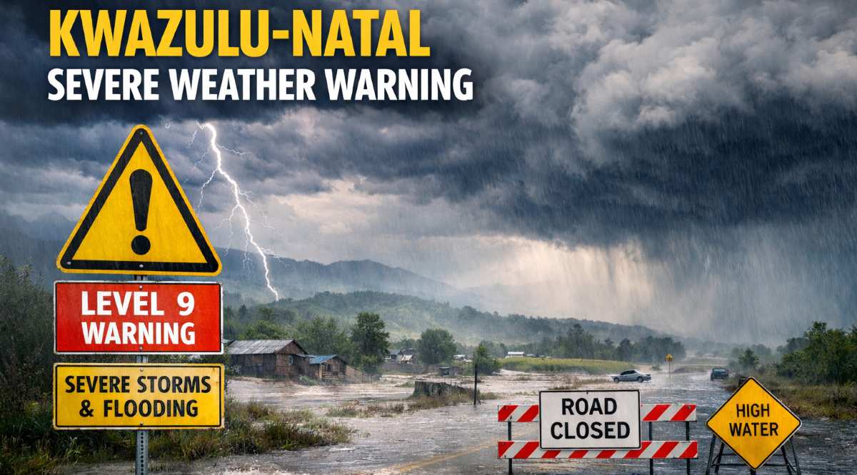
KwaZulu-Natal is preparing for disruptive rainfall and severe thunderstorms expected to affect multiple districts across the province, following alerts issued by the South African Weather Service (SAWS). The warnings stem from a persistent low-pressure system tracking south-west from southern Mozambique, which is forecast to bring sustained rainfall and thunderstorm activity from Monday, 12 January 2026, through to Wednesday, 14 January 2026.
According to SAWS, the low-pressure system is currently impacting north-eastern regions of South Africa, delivering significant rainfall across parts of Limpopo and Mpumalanga.

As a result, the weather service has issued Impact-Based Severe Weather Warnings, including Orange Level 9 and Orange Level 6 alerts for disruptive rainfall over the eastern parts of Limpopo and Mpumalanga from Monday, 12 January, until Tuesday, 13 January 2026.
These warnings extend to the extreme north-eastern areas of KwaZulu-Natal from Tuesday, 13 January 2026.
SAWS has indicated that northern parts of KwaZulu-Natal, including Newcastle and surrounding towns, are likely to experience the most severe impacts as moisture-rich air continues to feed into the region. Communities in low-lying and poorly drained areas face an increased risk of flooding, road disruptions, and storm-related damage.
While heavy rainfall is already being recorded across Limpopo and Mpumalanga, the system’s gradual southward movement places KwaZulu-Natal firmly in its projected path.
In response, SAWS has issued a Level 2 Yellow Warning for severe thunderstorms, effective from Monday, 12 January, until Tuesday night, 13 January 2026. These storms are expected to affect Ladysmith, Hlabisa, Utrecht, Newcastle, Indaka, Hluhluwe, Dannhauser, Underberg, Dundee, Greater Kokstad, and Mooi River.
Further areas likely to be impacted include Estcourt, Impendle, Ingwe, Giants Castle, Okhahlamba, uMngeni, and Pongola.
Furthermore, the weather service reports that isolated showers and thundershowers are forecast to become more widespread over the north-eastern parts of the province from Monday into Tuesday. Some thunderstorms may intensify, bringing heavy downpours, damaging winds, excessive lightning, and hail, which could result in minor to moderate impacts.
Expected impacts include localised damage to infrastructure and settlements, as well as flooding of susceptible roads and bridges.
SAWS has also cautioned that slippery road conditions and reduced visibility may contribute to minor vehicle accidents. In addition, the risk of injury from flying debris during strong winds and hailstorms has been highlighted.
Compounding the situation, SAWS has issued a separate Level 2 Warning for disruptive rain affecting eDumbe, Utrecht, Jozini, uMhlabuyalingana, and Pongola on Tuesday, 13 January 2026. Persistent rainfall over recent days has already saturated the ground, and with further rain forecast through Monday, Tuesday, and Wednesday, the likelihood of disruptive impacts is increasing across northern KwaZulu-Natal.
SAWS has further warned that these conditions may result in localised flooding of formal and informal settlements, as well as low-lying roads and bridges.
Difficult driving conditions are expected on both dirt and tarred roads, with poor visibility adding to the risks. While major roads may remain passable, motorists should anticipate delays and slower travel times.
The Orange Level 6 warning indicates a high likelihood of disruptive rainfall, with significant impacts such as flooding of roads and settlements, as well as danger to life due to fast-flowing streams and deep water. Major road closures and severe traffic disruptions are possible under these conditions.
Meanwhile, the Orange Level 9 warning reflects a medium likelihood of disruptive rainfall but carries the potential for severe impacts.
These include widespread and dangerous flooding, the closure of major roads and bridges, extensive damage to infrastructure and settlements, and an increased risk to life, particularly in low-lying and flood-prone areas.
SAWS has confirmed that the low-pressure system, already driving heavy rainfall across Limpopo and Mpumalanga, will continue to influence north-eastern regions of the country as it shifts southward. Monitoring is ongoing, with impacts expected to extend into KwaZulu-Natal from Tuesday, 13 January 2026.
In addition, SAWS has indicated that the Lowveld of Mpumalanga, the Limpopo Valley, and eastern Limpopo are likely to experience widespread and persistent rain and thunderstorms until at least Wednesday, 14 January 2026, or potentially longer. Substantial rainfall accumulations have already been recorded from Sunday evening, and warnings may be upgraded should forecast confidence and impact likelihood increase.
By Wednesday, 14 January 2026, the system is expected to intensify over north-eastern KwaZulu-Natal, with an 80% probability of widespread thunderstorms across northern coastal and inland regions.
Areas at risk include Richards Bay, Empangeni, Gingindlovu, Eshowe, Mtubatuba, St Lucia, Hluhluwe, Jozini, Mkhuze, Pongola, and Newcastle. Prolonged rainfall may overwhelm drainage systems, damage bridges and culverts, and lead to significant traffic disruptions. In rural areas, dam overflows and soil erosion may threaten livelihoods, while fast-flowing water poses a direct danger to life.
In contrast, southern KwaZulu-Natal, including Port Shepstone, Margate, Harding, Kokstad, Ixopo, and Scottburgh, is expected to remain comparatively warmer, with a 30–40% chance of scattered rain. While impacts in these areas are likely to be less severe, cumulative rainfall could still result in minor flooding, blocked drainage systems, and gradual slope erosion in vulnerable locations.

SAWS has urged the public to exercise caution during this period of severe weather.
Residents are advised to avoid travelling through low-lying areas, bridges, and flooded roads, and to limit outdoor activities due to the risk of lightning, hail, and flooding.
Pets, livestock, and vehicles should be placed under shelter where possible, and emergency supplies such as torches, batteries, charged mobile phones, and first-aid kits should be prepared in case of power outages or isolation.
Authorities have emphasised that early action is critical, particularly in northern KwaZulu-Natal, where saturated soils and prolonged rainfall significantly increase the risk of rapid-onset flooding.

Communities are urged to stay informed through verified channels and to prioritise safety until weather conditions stabilise.
Stay safe and be sure to read, Mediclinic Newcastle Welcomes Dr Thando Khumalo as Principal Clinical Manager in Partnership with ER Consulting, if you missed it.