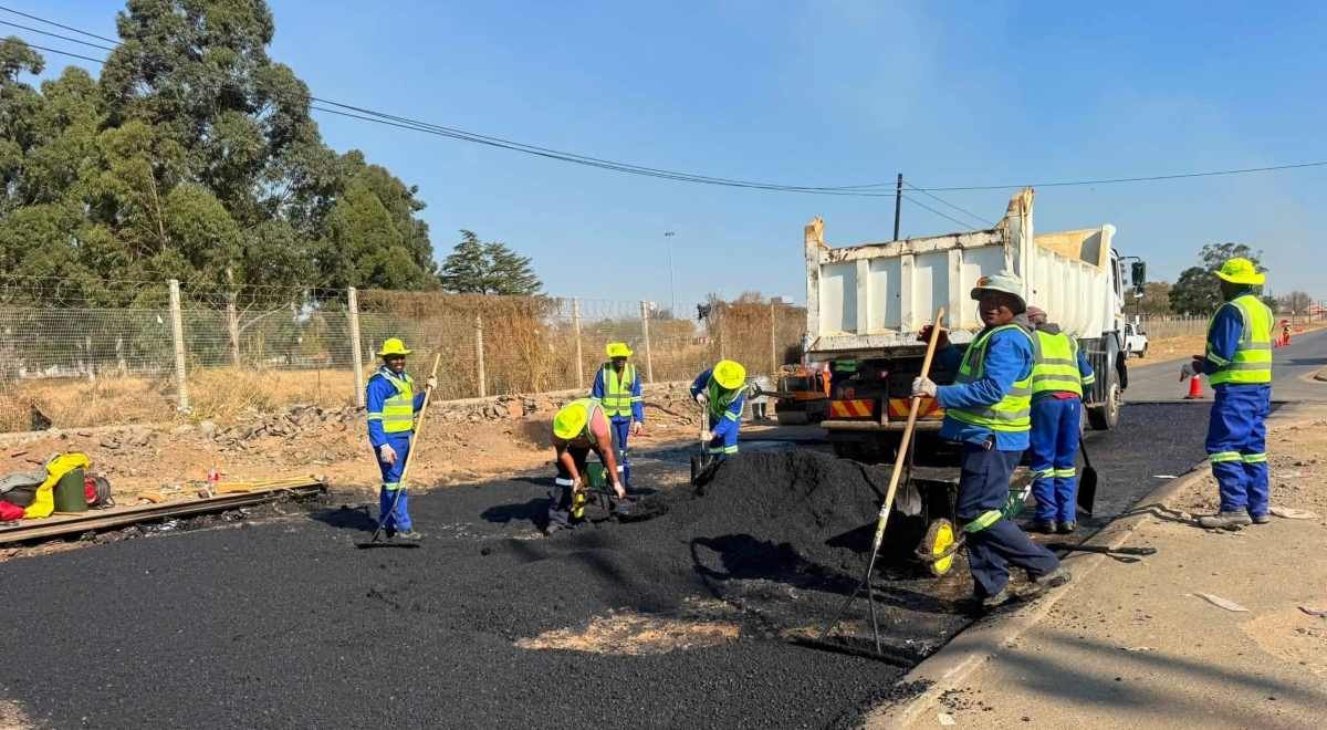


Is the classification for Newcastle’s transport and road networks set to change? This question arises as the Newcastle Municipality’s Integrated Development Plan (IDP) indicates that the development of Newcastle has necessitated a review of the road and transportation network, to determine if it can meet current and future demands.

According to the Municipality’s IDP, the Newcastle Municipality’s Integrated Traffic and Transportation Planning (NLM ITTP) involves a comprehensive 10-year evaluation (2015 – 2025) of how future developments might impact the existing road network.
The goal is to gain a better understanding of the road network and identify any gaps that may arise.
The NLM ITTP was developed over three years in collaboration with an engineering consultation company. The IDP highlighted that the Plan was officially adopted by the Newcastle Municipality’s Council in 2016 and has yet to undergo a review process.
“The NLM ITTP was born out of an extensive study that considered the functionality of Newcastle within the Amajuba District. The following section looks into the findings and recommendations of the NLM integrated transport plan,” explains the IDP.
Analysis of the Existing Road Network:
The IDP details an analysis of the existing road network using secondary data from the KZN Department of Transport – Provincial Road Network. The analysis categorises the roads into the following classes:
CLASS 1: N11 – The main trunk road that passes through the Newcastle study area and provides linkages between major city centres including Durban and Johannesburg. The existing road is characterised by high traffic volumes which is made up of a high percentage of heavy vehicles.
CLASS 2: P483 – The main road is currently predominantly used as a public transport route from the MBO complex to the Newcastle CBD. The existing road is under immense pressure and it is envisaged that, if development in Newcastle continues at the current rate, it will not be able to accommodate any addition of vehicles in the future.
CLASS 3: R34, Steildrift 21, Scott Street/Boundary Street – R34 is an existing road that provides linkages to areas such as Memel and Standerton. Access to this route is gained via the Newcastle CBD, which usually results in traffic congestion during the peak season hence delayed travel times. Scott Street/Boundary Street is an existing road that partially runs through a residential area south of the Newcastle CBD. The road provides linkages to areas such as Cecelia and Normandien.
“From the evaluation, it emerged that the existing road classification in Newcastle does not provide sufficient high-class roads needed to handle high volumes of public transportation and privately owned vehicles. This limits future growth by impacting the ability to unlock land for development,” the Newcastle Municipality’s IDP states.
Furthermore, the IDP explains that there is a need for a new road classification that addresses the challenges of urban sprawl. The evaluation also highlights planned development initiatives in Newcastle, especially around the MBO (Madadeni, Blaauwbosch, and Osizweni) complex. These developments will form the basis for forecasting transportation demand within Newcastle. According to the IDP, the challenges in developing an integrated land and transportation network may be linked to poor apartheid planning.
Proposed network amendments:
- The following network proposals and amendments have been reviewed:
- N11 Re-alignment
- Ladysmith Drive
- Proposed intersection of Main Road P483 and Secondary Activity Spine
- Karbochem Road and Proposed Secondary Activity Spine
- Karbochem South Access
- Proposed Road East of Airport Industrial
- Link Road
- Proposed Road Development in Fairleigh, Fernwood and Paradise
- Madadeni CBD
- Northern Activity Spine
- Jobstown Road Development;
- Hans Coetzee Road
- Madadeni Ring Road
- Madadeni, JBC and Osizweni Proposed Roads.
Additionally, the IDP notes that the proposed road classification will need to ensure optimal functionality over an extended period. “The proposed road classification has been analysed for implementation within a 10-year period. However, it should be noted that the proposed road classification will have positive long-term effects on the Newcastle Municipality,” the Municipality explains in its IDP.
An exact timeline for these changes will depend on developments within the study area.
The IDP further points out that implementing and constructing the Proposed Secondary Activity Spine and Northern Activity Spine are crucial as they will provide alternative transport routes, unlock land, and ease traffic between the two major hubs, the MBO complex and Newcastle CBD.
“The existing road network does not support the future growth of Newcastle Municipality. The lack of adequate transportation routes hinders travel to areas that could be developed for economic growth. Newcastle Municipality is earmarked for an inland dry port, which could transform it into a leading industrial area within South Africa,” the IDP elaborates.

However, the IDP notes that the viability of this transformation depends heavily on transportation, which will be a major driver in achieving this status. “A lack of implementation and construction will limit and hinder the growth of the municipality until the viability of the proposed road network hierarchy is compromised,” the IDP warns.
Before any proposed plans are finalised, consultations will be required with all relevant parties, including national bodies like SANRAL, provincial and local authorities, the transportation authority, town planning, and finance departments.
With this in mind, what are your thoughts on the proposed changes? Share your views in the comment section below.