

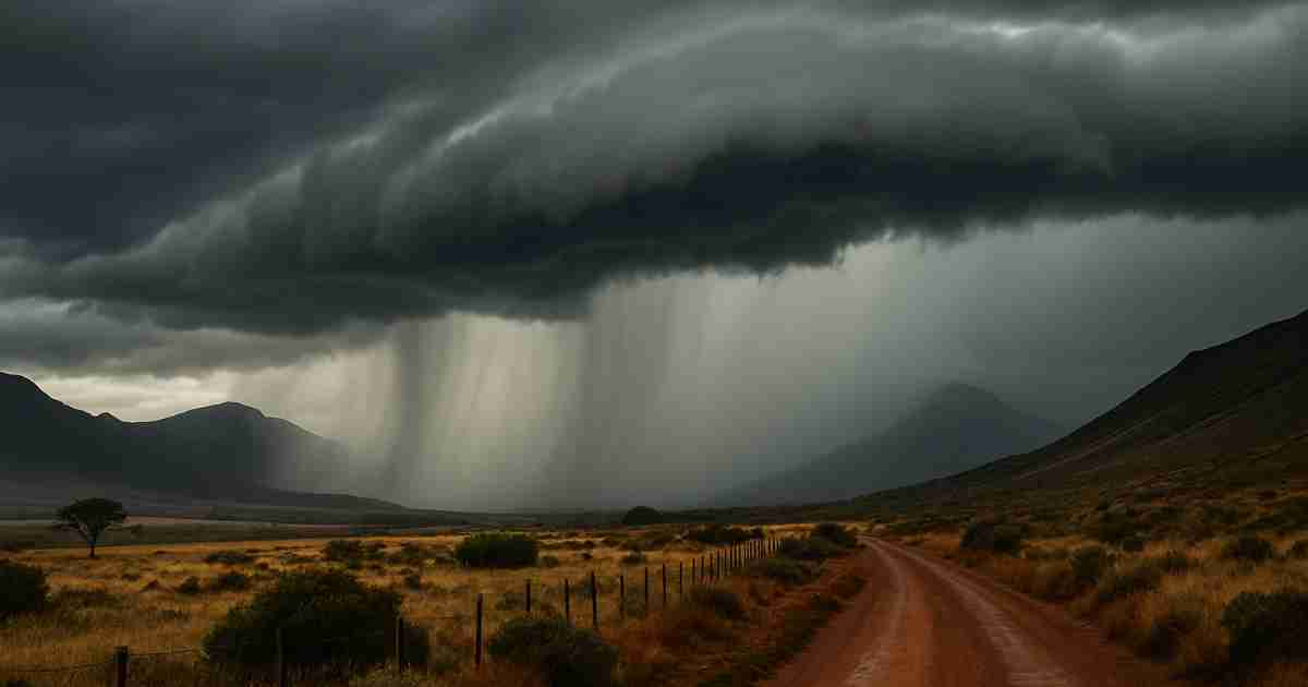
As winter draws to a close and spring approaches, South Africans brace for yet another cold front expected to sweep across the country. This weather system, predicted to bring icy conditions, marks a significant shift in conditions, according to official forecasts.

Mid-Latitude Cyclone on Track for South-Western Cape
The South African Weather Service (SAWS), Snow Report Southern Africa, and the Severe Weather and Information Centre (SWAICSA) have issued warnings regarding an incoming mid-latitude cyclone, which will bring associated cold fronts. Expected to make landfall over the south-western Cape on Monday, 4 August 2025, this system will bring isolated to scattered rainfall in the western regions, with the South Western Cape likely to see moderate to heavy rain and isolated thunderstorms.
An upper-air cut-off low is also expected to develop, intensifying conditions.
Wind and Sea Swells to Impact Coastal Regions
As the system moves eastward, SAWS has cautioned of strong winds across the western half of the country, including KwaZulu-Natal’s coastline. Gale-force winds, along with sea swells reaching up to 5.5 meters, are forecast for the south-western coastline on Monday. Conditions are expected to intensify by the evening, with a secondary front moving in.
By Tuesday, 5 August 2025, adverse weather conditions will spread eastward, affecting areas such as the Free State and Eastern Cape. A weak cut-off low may also develop over central South Africa by Wednesday, 6 August, although significant changes are not anticipated midweek.
Hazardous Conditions Expected for Inland Areas
The cold front will bring a range of hazardous conditions across the country. Coastal regions face rough seas, which may disrupt maritime activities and beachgoers, especially anglers. Inland, driving conditions will be hazardous due to dust storms, crosswinds, and strong winds—ranging from 40 to 50 km/h, with gusts reaching 70–90 km/h. The Northern Cape and Central Karoo regions are particularly vulnerable, with these winds potentially causing damage to informal structures, reducing visibility, and heightening the risk of runaway fires.
High fire danger is expected in areas such as the Central Karoo District, !Khe, and Siyathemba municipalities.
Temperature Drops and Potential Travel Disruptions
By Tuesday, 5 August, temperatures are forecast to plummet, with scattered to widespread rainfall predicted in regions including the Western Cape, southern Eastern Cape, Northern Cape, and Free State. This weather may lead to travel disruptions, potential power outages, and dangerous road conditions. As a result, SAWS has issued Yellow Level 1 warnings for disruptive rain, strong winds, snowfall, and coastal swells.
Regional and City-Specific Forecasts for 4 August 2025
The following are provincial forecasts for Monday, 4 August 2025:
- Western Cape: Partly cloudy and cool to warm, with isolated to widespread rain in the western areas.
- Northern Cape: Fine, windy, and cool to warm; partly cloudy in the west, with rain expected by evening.
- Eastern Cape (Western Half): Fine, windy, and warm, with partly cloudy conditions along the coast from the afternoon.
- Eastern Cape (Eastern Half): Fine and warm, cooler in the northern areas.
- KwaZulu-Natal: Fine and cool to warm.
- Free State: Fine, windy, and cool.
- North West Province: Fine, windy, and cool.
- Limpopo: Fine and cool to warm.
- Mpumalanga: Fine and cool; warm in the Lowveld.
- Gauteng: Fine and cool.
Snowfall Expected Across Multiple Regions
Snowfall is predicted to begin late Monday, with areas in the Western Cape such as Somerset West, Stellenbosch, and Paarl potentially receiving light dustings. In the Northern Cape, light snowfall is expected near Sutherland and Calvinia on Tuesday, with Kimberley and Kuruman facing a lower likelihood.
Heavier snowfall, ranging from 10 to 20 cm, is anticipated in mountainous regions of the Eastern Cape, including Hogsback and Seymour, from late Tuesday into Wednesday.
Snow is also forecast for KwaZulu-Natal’s high-lying areas, including Underberg, Swartberg, and Kokstad, on Wednesday, 6 August 2025. Lesotho’s high-altitude zones, including Sani Pass and Afriski, are also expected to see snowfall.
Detailed Snowfall Forecasts by Region:
- Western Cape: Light snowfall possible on peaks near Somerset West, Stellenbosch, and Paarl from late Monday to Tuesday.
- Northern Cape: Light snow expected in areas around Sutherland and Calvinia on Tuesday, with a low probability for Kimberley and Kuruman.
- Eastern Cape: Snowfall likely from late Tuesday into Wednesday, especially in mountainous regions like Hogsback and Seymour.
- KwaZulu-Natal: Snow forecast for high-altitude areas such as Underberg, Swartberg, and Kokstad on Wednesday.
- Free State: Low chance of light snow in elevated areas around Bloemfontein on Wednesday.
- North West: Low chance of snowfall in high-lying areas near Lichtenburg.
- Lesotho: Snowfall expected on Wednesday, particularly in areas such as Sani Pass and Afriski.

With the extensive impact of this weather system, both SAWS and SWAICSA advise residents to stay updated with official reports. South Africans should secure outdoor items, avoid unnecessary travel during peak conditions, and prepare for potential disruptions to transport and services. Those in high-risk fire areas, particularly in the Central Karoo and Northern Cape, are urged to remain vigilant. As the cold front moves eastward, maintaining caution and preparedness will be essential.
What are your thoughts on this? Leave your comments below
Be sure to read, NERSA Audit Targets Newcastle’s Electricity Compliance, if you missed it.